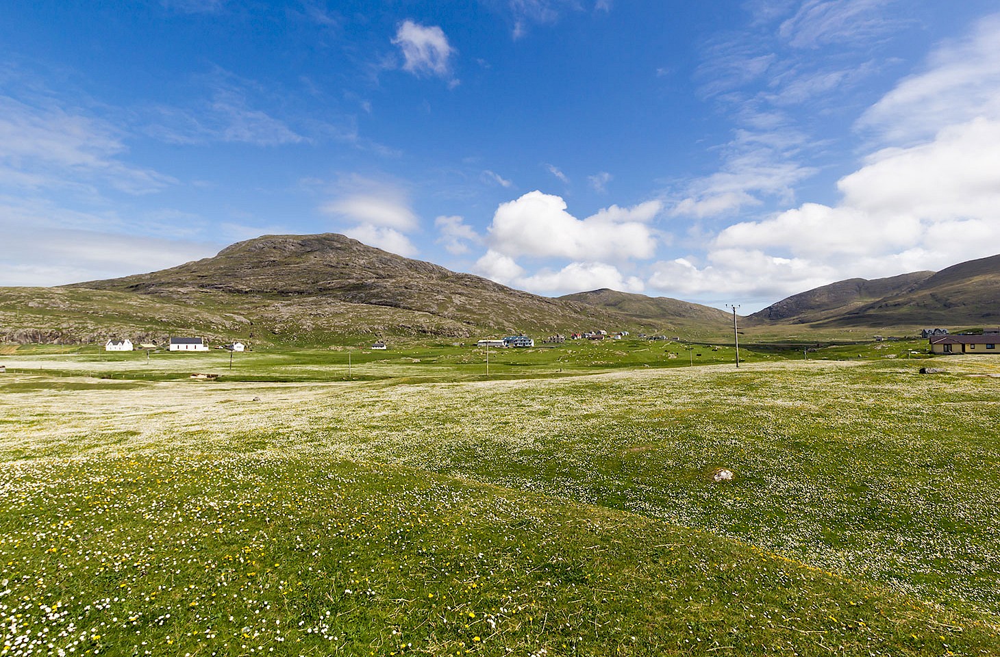
Some landscapes wear their hearts on their sleeves. Topography tells the entire story: hills and mountains, deep valleys, rocky outcrops — geomorphology writ large, geology in plain sight. Think of archetypal English landscapes captured in paintings, film and photography: the Lake District with its mountains, lakes and glacial valleys; the Peak District with its lightdark character of limestone and millstone grit; the West Country with its rolling hills, lush meadows and sandstone-red soil. But other landscapes are not quite so easy to read. To understand the low country of England’s easternmost region you need to dig down to what lies beneath.
In East Anglia, a thick band of chalk lies beneath the surface all the way from the Wash across Norfolk and Suffolk to the North Sea coast. Laid down in shallow warm seas between 135 and 70 million years ago during the Cretaceous period, the chalk is up to 450 metres thick and underlies the whole of Norfolk east of the escarpment that marks the boundary of the Fens. At Great Yarmouth on Norfolk’s east coast the top of the chalk is 150 metres below ground level and overlain with more recent deposits left by the ice that covered the land during the Pleistocene glacial period that lasted until around 400,000 years ago. In the west of the county, the chalk lies in plain sight much closer to the surface. Within the chalk are strata of flint nodules and it is this stone that characterises so much of East Anglia, especially the counties of Norfolk and Suffolk.
Origins
Flint is a curiosity: a remarkably hard sedimentary rock that is born within another much softer one. Like chalk, it is produced from the residue of once living creatures — a metamorphosis from silicarich sludge to amorphous lumps of the hardest of rocks. Chalk’s formation from the accretion of calciumrich shells of sea creatures is easy enough to envisage. Flint, though, requires a little more imagination. Put in the simplest terms, it is generally believed that flint nodules are formed when the dissolved silica released from microscopic sponges occupy the void left by burrowing crustaceans. It is the shape of such burrows that give flint its curiously knobbly form.
Although originating as layered nodules in the chalk, much of the flint found in East Anglia is what may be termed Quaternary. That is, it is rock that over millennia has been shifted from its original setting by means of ice sheets, rivers and ocean currents. It is this flint that lies thickly scattered and plough-broken on Norfolk fields or piled up on Suffolk’s shingle beaches. It is the same flint that has long been gathered for building barns and cottage walls or used as hardcore for road making.
Along the East Anglian coastline much of this flint ends up on beaches or on spits: shape-shifting accumulations of pebbles that have been moved and deposited by the process of longshore drift — where inshore currents and wave patterns shape coastal topography. One of the most impressive of these spits, indeed at 16 km long the largest in England, is Orford Ness in Suffolk ( featured in issue 46 of hidden europe).


